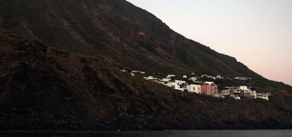
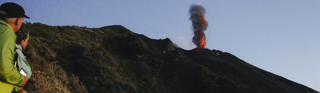
The Reserves > Stromboli and Strombolicchio Nature Reserve
The reserve is established in order to protect:
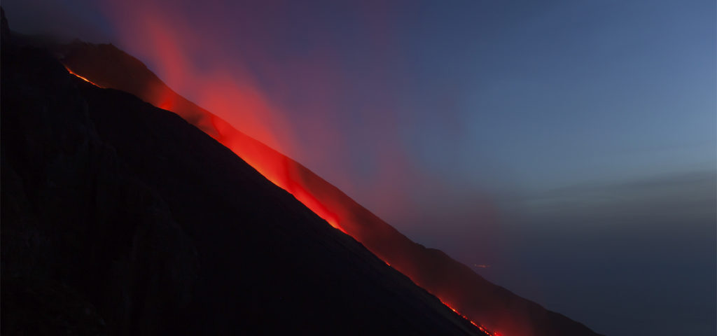
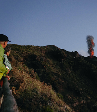
- the volcano that has been in persistent activity for at least two millennia with important evidence of structures belonging to an extinct volcanic edifice that has partly collapsed;
- the interesting endemics such as: cytisus aeolicus, genista ephedroides, koekia saxicola (particularly widespread in Strombolicchio) and centaurea aeolica;
- aspects of vegetation and matthiola rupestri, satureja graeca var, cosentinei and talpis virgata gussonei as well as those referable to quercus ilex and centaurea aeolica clusters;
- the genista ephedroides and euphorbia dendroides scrub;
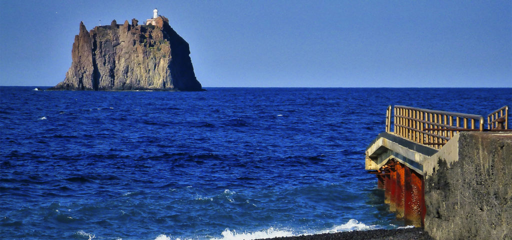
- the small volcanic rock of Strombolicchio, which represents an intact and isolated ecosystem where an endemic subspecies of the wall lizard(lacerta sicula raffonei) has evolved.
The Reserve is designated a Special Area of Conservation (SAC), under the Habitats Directive, as a Site of Community Importance (ITA 030026). .
It also falls within the SPA zone – ITA 0300044, as a protection zone placed along the migration routes of avifauna.