
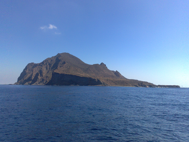
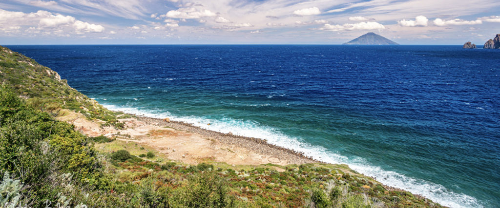
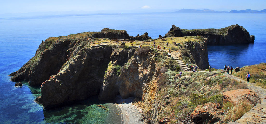
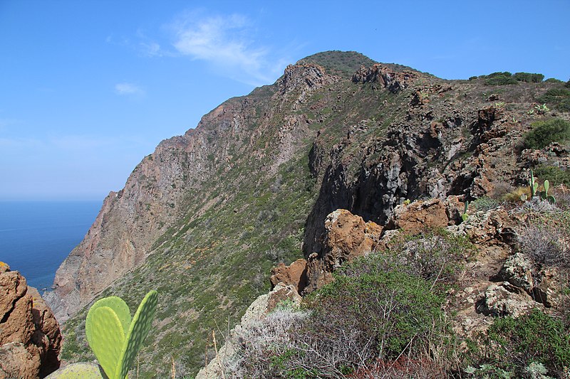
The Reserves > Panarea Island Nature Reserve and Viciniori Reefs
The Reserve is established in order to protect:
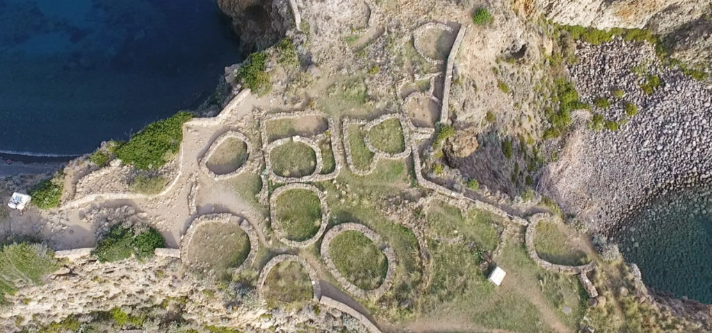
- the set of small ancient volcanic edifices with a lava outcrop, “Punta Milazzese,” of great archaeological importance, surrounded by smaller islands and rocks forming an exceptional landscape ensemble;
- lacerta sicula trischittai present on Bottaro islet and lacerta sicula lisca biancae on Lisca Bianca islet;
- the copious colonies of nesting birds on the cliffs overlooking the sea;
- lizard (podarcis sicula ssp.) populations on the rocks that have diversified into subspecies endemic to each islet and, therefore, of considerable interest for the study of species evolution and geographically isolated faunal populations;
- marine areas affected by important and widespread liquid and gas phase thermal events of relevant scientific interest.
The Reserve is designated a Special Area of Conservation (SAC) under the Habitats Directive as a Site of Community Importance (ITA 030025) .
It also falls within the SPA zone – ITA 0300044, as a protection zone placed along the migration routes of avifauna.

