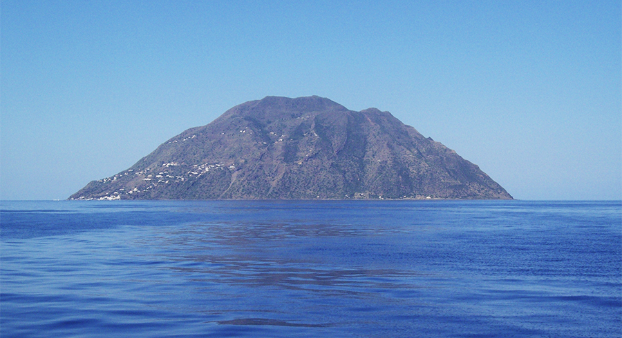
Reserves > Alicudi Island Nature Reserve
The reserve is established in order to protect:
- the small complex of partly destroyed lava domes, evidence of the oldest activities of the Aeolian volcanic complex;
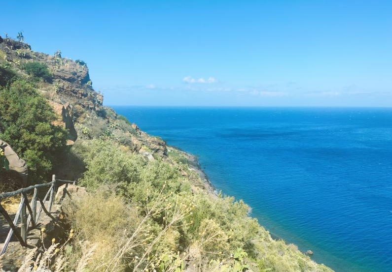
- the vegetation landscape with scrub aspects with genista ephedroides, arthemisia arborescens, euphorbia dendroides and heather arborea as well as cyst garigues;
- halophilic associations, endemic entities along the coastal strip, to limonium minutiflorum and helicrysum litoreum;
- the large colony of falcon eleonorae that nests on the island.
The Reserve is designated a SAC (Special Area of Conservation), under the Habitats Directive, as a site of community importance (ITA 030023) .
It also falls within the SPA zone – ITA 0300044, as a protection zone placed along the migration routes of avifauna.